Creating a detailed CIP to support residential and commercial growth
Garver developed a hydraulic model to evaluate the water distribution system for Rogers Water Utilities (RWU) utilizing ArcGIS-based software. Garver also evaluated improvements needed to accommodate continued growth within the existing service boundary and expansions for several short-term and long-term planning horizons.
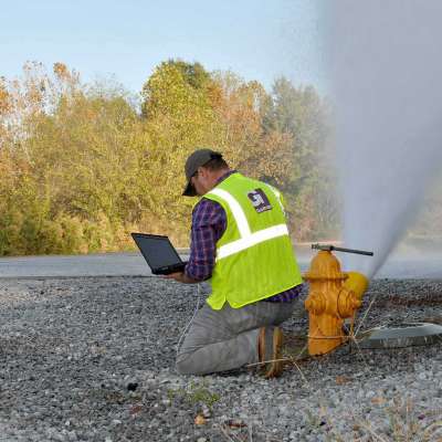
The calibration process consisted of analysis of results from hydrant flow tests and pressure logger data collected during summer peak demands. GIS was used to derive anticipated future land use maps to help evaluate water service needs for projected future populations.
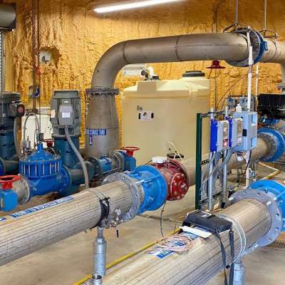
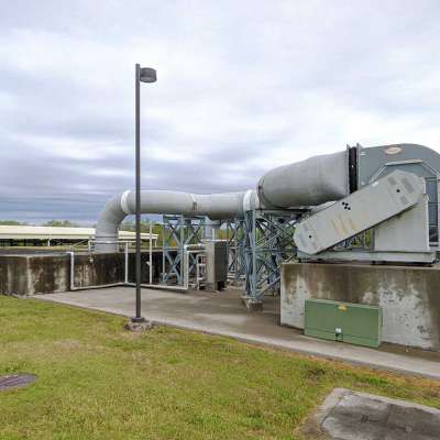
Garver developed a detailed capital improvement plan (CIP) that included major pumping, transmission, and storage projects to support continued growth. In addition, Garver performed a water quality evaluation and water loss audit, which included district metering.


Share this article