Garver guides project through Environmental Impact Statement process
The proposed 12-mile arterial loop in Conway, Ark. is a step closer to realization after Garver completed an environmental impact study that has resulted in the city receiving environmental clearance to continue with the project's design and construction.
With approval and recommendation from the Arkansas State Highway and Transportation Department, the Federal Highway Administration signed the Record of Decision in August to approve the preferred route around the city's south and west sides with connections to Interstate 40.
In 1999, the city contracted Garver to plan a new arterial loop, and since then, Garver has worked with subconsultants and the City of Conway to help this $155 million project make its way through the required agency clearances. The proposed four-lane facility is expected to provide traffic relief and improve travel times, enhance access to area facilities and benefit emergency response vehicles.
Garver guided the project through a decade of planning and multiple phases that resulted in approval of the Record of Decision. Major steps to study the proposed loop's social, economic and environmental impacts included:
- A scoping process that involved meetings with the public, local officials and agencies
- A needs analysis that focused on traffic forecasts, safety issues and socioeconomic demands
- A broad corridor feasibility study followed by specific alignment alternatives
- Planning and environmental documentation that involved a draft, reevaluation and final Environmental Impact Statement; a general concept and engineering and operational review of the new freeway accesses; and the Record of Decision
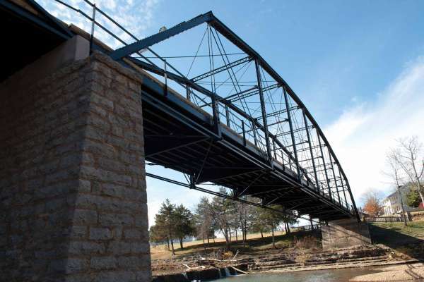
Record searches and field investigations were conducted to study impacts to air quality, flood plains and wetlands, noise levels, land conversion, threatened and endangered species, and hazardous materials. In addition, the environmental impact study included items such as a geotechnical feasibility investigation, wetland determination, plant investigation and a Phase 1 cultural resources report that detailed historical structures within the area.
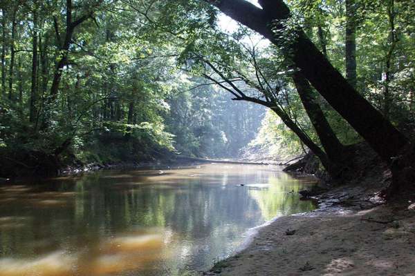
During the study, Garver and its teaming subconsultants identified two vulnerable flower species growing within the preferred alignment—the Arkansas twistflower and Wolf's spike rush. The alignment was modified to avoid direct impact to the identified populations. In addition to the flowers, the preferred alignment was adjusted to avoid established residential areas, two churches and a cemetery.
Aerial photos, U.S. Geological Survey quad maps and digital terrain models were utilized to determine the best route with respect to the land's topography. The selected and most feasible alignment involves using an existing cut through the Cadron Ridge and making a minor cut through Donnell Ridge. The route's final design will also incorporate bridges over multiple creeks and two Union Pacific Railroad crossings to facilitate uninterrupted traffic movement.
Throughout the planning and environmental process, the City of Conway was able to obtain funding for a portion of the project through local, state and federal sources. Garver is currently under contract to provide final design and construction engineering services on the southern interchange, a portion of the loop that serves as the "Southern Gateway" to Conway.


Share this article