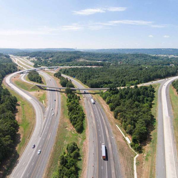
We are seeking a motivated and detail-oriented individual to join our GIS team as a GIS Analyst within our Transportation business line. This position will be filled in our Austin office. The successful candidate will work closely with our GIS team and the Planning and Environmental team to support projects and contribute to the development of high-quality maps, and spatial data products, in Texas, Oklahoma, and Arkansas.
We provide GIS analysis and mapping services for a wide variety of projects such as environmental assessments, government grants, large transportation and water infrastructure projects, and wildlife and habitat monitoring. Assignments will include data analysis, map exhibit production, creating ArcGIS Online mapping applications, spatial analysis, and project data management and coordination.
Garver’s growing Transportation Team offers mentorship, career growth, and an outstanding opportunity to be exposed to a variety of projects.
Qualifications
- Bachelor's degree in Geographic Information Science, Geography, Planning, Environmental Science, or a closely related field.
- Proficiency in ESRI products ArcGIS Desktop, ArcPro, and ArcGIS Online. Knowledge of Collector for ArcGIS, Survey123 and ArcGIS extensions (3D Analyst, Spatial Analyst) a plus.
- Possess an understanding of coordinate systems, data editing, and exhibit creation.
- Proficiency in Microsoft Office products, particularly Excel, for data analysis and reporting.
- 3 years or more experience without a bachelor’s degree.
- Attention to detail.
- Ability to work independently and in a team environment.
Preferred Skills
- GISP, AICP, PE, or other professional certifications are a plus.
- Experience converting MicroStation and Autodesk CAD data to GIS data is a plus.
- Proficiency in processing LIDAR data for 3D applications is a plus.
- 1 year or more of practical GIS experience a plus.
Your Key Responsibilities
- Creating maps and performing a wide range of geospatial analysis in support of environmental documents and environmental field surveys mainly for transportation-related projects as well as other GIS-related tasks.
- Creating and managing maps, geo-databases, and other GIS deliverables on short notice.
- Adhering to established cartographic standards and Quality Assurance / Quality Control processes.
- Supporting geospatial field data collection efforts. Typical features we collect include wetlands, waterways, and rare, threatened, or endangered species occurrences or habitats.
- Researching and acquiring geospatial data from various sources, including government agencies, satellite imagery providers, and open data repositories.
Grow With Us
Garver offers its employees programs such as company-paid professional memberships, company support for industry licenses and continuing education opportunities that foster a progressive atmosphere. Garver provides the tools, resources, and environment to develop leaders, stimulate ideas, and accomplish projects. By offering highly competitive salary packages, attractive benefits, and a comprehensive wellness program; Garver walks the talk when it comes to work-life balance.
Founded in 1919, Garver is an employee-owned multidisciplined engineering, planning, and environmental services firm with more than 1,200 employees across the United States. Offering a wide range of services focused on aviation, buildings, construction, enterprise solutions, federal, survey, transportation, water, and wastewater, Garver sits in the top 100 of the Engineering News-Record's prestigious Top 500 Design Firms list and is consistently recognized as a best firm to work for. Learn more at GarverUSA.com.
Garver is committed to providing equal employment opportunities to all applicants and employees. Our employment practices are based upon an individual's capabilities and qualifications without regard to race, color, religion, sex, sexual orientation, gender identity, national origin, disability, veteran status, or any other category protected by law.
#LI-EV1