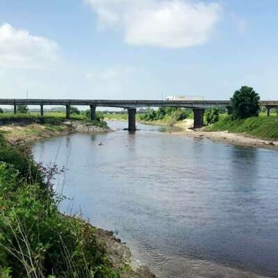
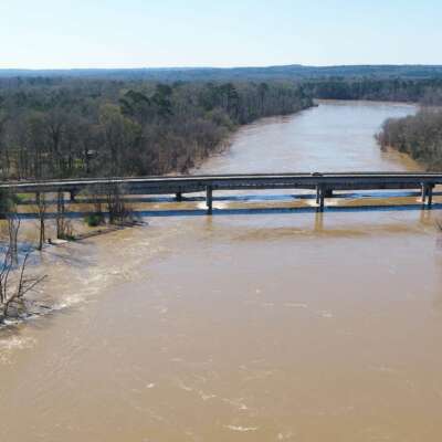
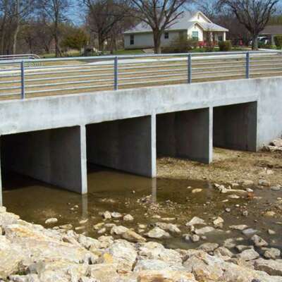
The proposed TxDOT US 190 4-lane project adds two travel lanes to existing US 190 between Madisonville, Texas and the Navasota River. Just west of Madisonville, US 190 crosses the Caney Creek floodplain, which includes a main channel bridge and two relief bridges in a wide floodplain with tributaries entering just upstream of the roadway. To accurately model the complex hydraulics of these bridges, Garver developed an SMS/SRH-2D two-dimensional (2D) hydraulic model of the floodplain. The additional lanes will be added on a new roadway embankment upstream of the existing roadway and bridges. The 2D model was used to verify that the new roadway embankment and bridges, designed to current TxDOT hydraulic standards, did not cause adverse impacts to the floodplain. Garver developed a scour analysis for the proposed bridges based on the 2D model results.

Get in Touch!
Brent Schniers, PE
Director of Transportation


Share this article