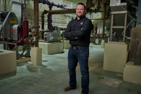
Field Services Team
Survey
Creating the foundation for successful projects
Garver’s Field Services Team works with DOTs, municipalities, other federal and local agencies, and private clients across the country to provide comprehensive surveying capabilities rooted in opportunity.
Outfitted with state-of-the-art mapping, scanning, and data collection technology, this team understands that the best tools and techniques aren’t enough on their own — positive project outcomes rely on the right people to get the job done.

Survey Services
Land and Property Surveys
When conducting land and property surveys, Garver provides high-quality data collection for challenging conditions and terrains, minimizing disruption to selected sites and delivering innovative solutions for projects of all sizes.
Construction Surveys
Garver is committed to safety, compliance, and efficiency when mapping construction surveys, gathering information on existing buildings and proposed structures across to prevent costly errors above ground, and below.
Topographic Surveys and Mapping
Through horizontal and vertical, geodetic, hydrographic, bathymetric, floodplain, and environmental surveys, Garver uses cutting-edge 3D scanning and modeling technology to set projects up for success.
Aerial Mapping
Garver’s licensed and insured drone pilots map complex environments and challenging terrain from above, ensuring compliance with state and federal regulations.
Mobile Mapping
By deploying emerging technology, Garver is reducing the time it takes to map and conduct maintenance inspections with equipment capable of data collection at high speed.
Ground Mapping
The Survey Teams are using backpack and tripod-based equipment equipped with LiDAR scanning to survey millions of data points virtually anywhere.
Get in Touch!
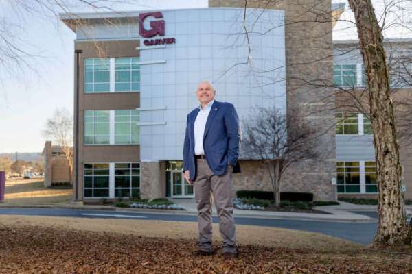
Earl Mott, PE
Director of Field Services